|
|

|
|
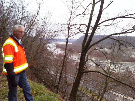
All of the following pictures were taken by Ryan Estell, Safety-Service Director for the city of East Liverpool, Ohio on December 23, 20011. He, City Engineer Bill Cowan and a tag along representing the E L Historical Society walked the Old Hill Road. The tag along only walked the first part. Mr. Estell and Mr, Cowan walked the entire distance from East End to Ravine Street/Thompson Ave.
The comments posted here are those of Mr. Estell.
A comment to us:
Bill and I made it all the way and came out at the end of Ravine St., but I certainly wouldn't recommend going much farther than you did this morning. There are sections that aren't much more than a deer trail in the hillside. The rock-face is in bad shape and likely will require blasting. There were a number of places where you don't have any choice but to push through the thorn bushes...I'm still finding thorns to pull out.
We're working on arrangements to have the rock-slide taken care of and hopefully the pathway will be much easier to traverse once the work is finished. They will have to have a nice wide and flat surface to get the necessary heavy equipment in.
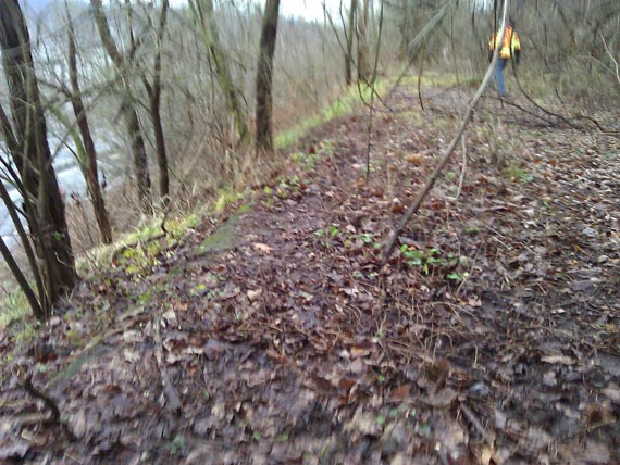
Pavement can still be seen and is in good shape.
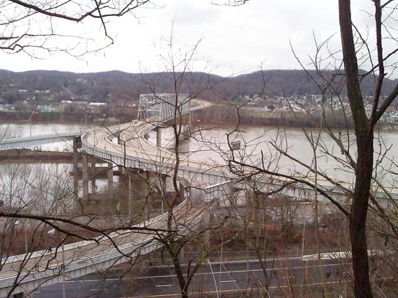
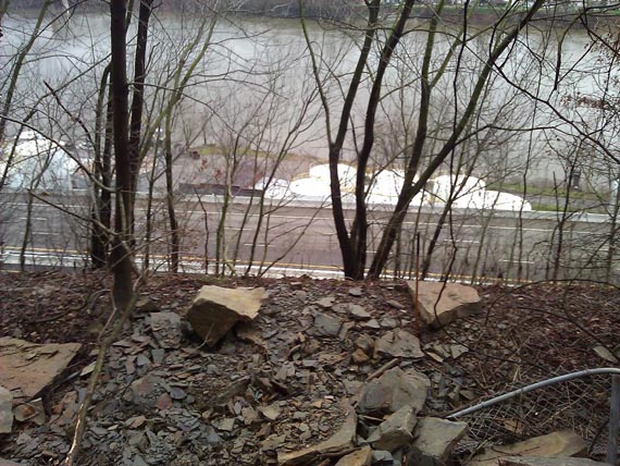
Looking across the Jennings-Randolph Bridge
Babbs Island and the river bend.
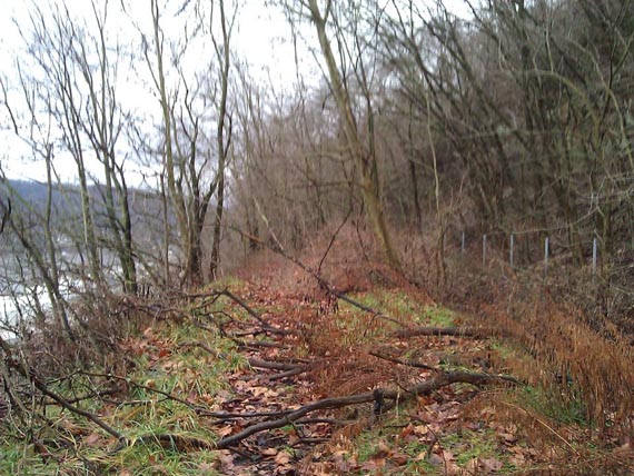
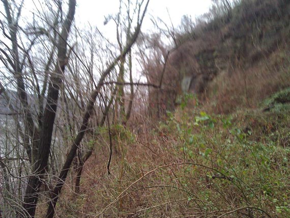
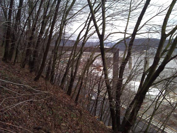
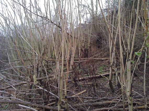
The path starts getting worse.
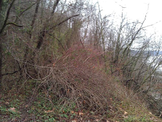
Finally, a challenge.
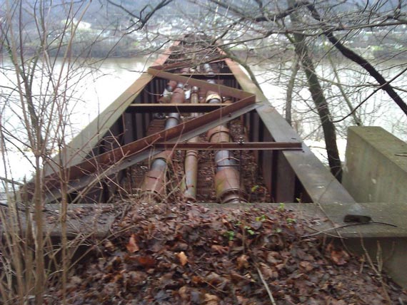
Pipe Bridge
High-pressure water lines going to the Thompson Ave. tank
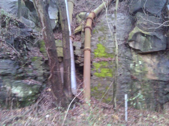
Old stonework built around the pipes
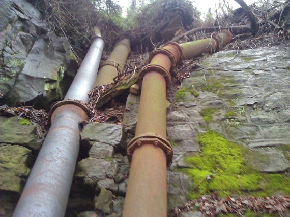
Looks strange, but it works.
Approaching the rock slide.
Rock Slide of 2011 Area
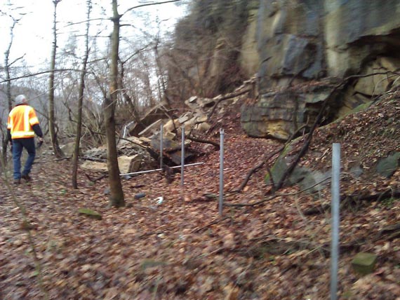
Most of the rock face has become rubble. with Bill Cowan
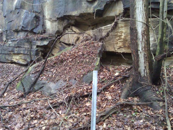
Other rocks coming loose.
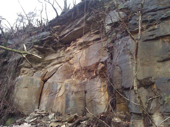
You can see the color difference in the newly exposed rock-face. This is the section that broke loose.
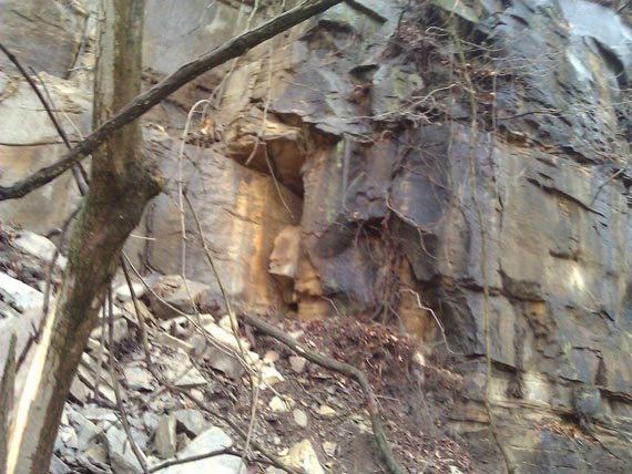
This area could be a problem in the future.
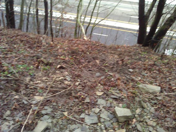
End of the rubble path only a couple feet from the drop-off to the highway.
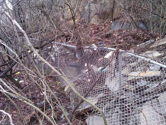
The fencing held back some of the rubble.
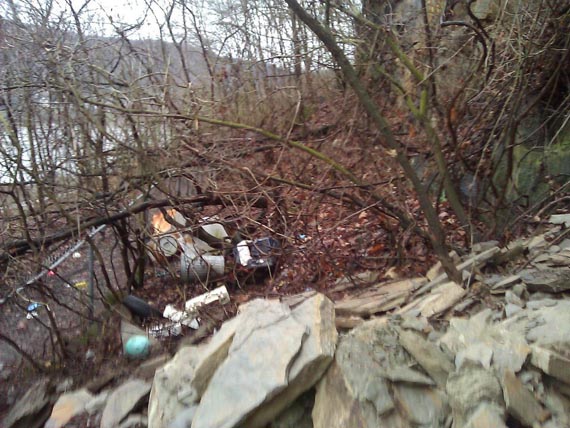
Litter/dumping is even a problem here.
The tank farm below gives a good landmark for locating the slide location on Google Earth.
Arriving at the Western End of what was the Old Hill Road
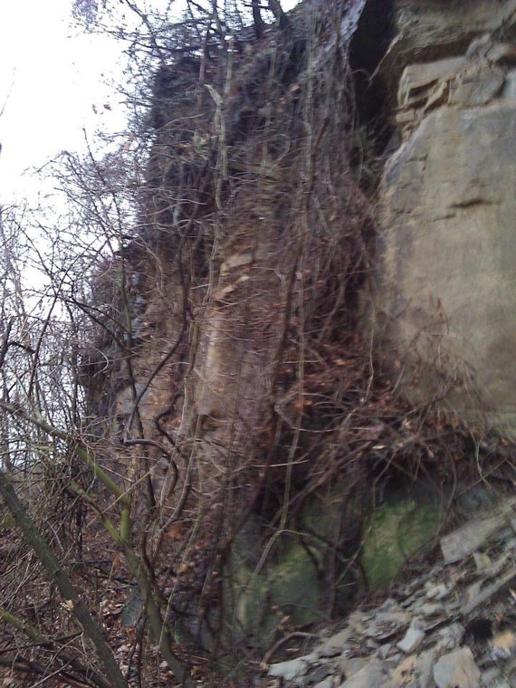
Looking down the old face.
Nearing Thompson and Ravine...finally an exit.
People really should not be down there. Its all part of the right-of-way space owned by ODOT for the highway. In some spaces, you can walk on the old 30' wide roadway, but in others you are lucky to have a six inch deer path. Bill and I were there for work, so I thought I'd share the scenes. (Ryan Estell)
CONTINUE TO Pa. Ave. (Old Hill Road)5
This site is the property of the East Liverpool Historical Society.
Regular linking, i.e. providing the URL of the East Liverpool Historical Society web site for viewers to click on and be taken to the East Liverpool Historical Society entry portal or to any specific article on the website is legally permitted.
Hyperlinking, or as it is also called framing, without permission is not permitted.
Legally speaking framing is still in a murky area of the law though there have been court cases in which framing has been seen as violation of copyright law. Many cases that were taken to court ended up settling out-of-court with the one doing the framing agreeing to cease framing and to just use a regular link to the other site.
The East Liverpool Historical Society pays fees to keep their site online. A person framing the Society site is effectively presenting the entire East Liverpool Historical Society web site as his own site and doing it at no cost to himself, i.e. stealing the site.
The East Liverpool Historical Society reserves the right to charge such an individual a fee for the use of the Society’s material.