|
|

|
|
The History
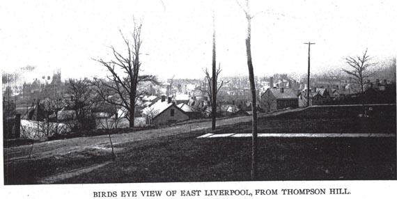
The east end led the way in the demand for municipal services. In 1897 residents of this section clamored for attention from city council. With the exception of a few electric street lights and city water, east end taxpayers had received few other benefits. They demanded improvement of the two roads connecting their portion of the First Ward with the central city. They complained that the River Road was too narrow because of the streetcar tracks
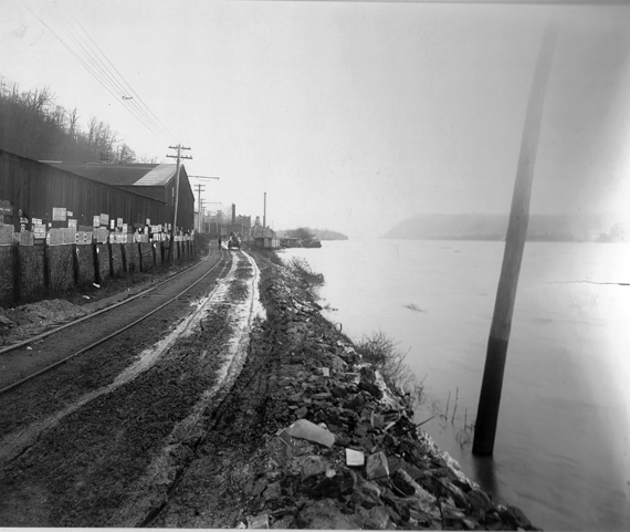
(The narrow River Road along the Thompson Pottery with its trolley tracks on one side.)
and that the hill road was ". . . nothing less than a long narrow streak of mud winding along the face of the hill."
If positive steps were not taken to improve the roads, they threatened to cut their connection with the city and organize a new municipality. This threat, of course, was not a realistic option, but points out the seriousness of the problem and the east end's desire to rectify it. (The City of Hills and Kilns)
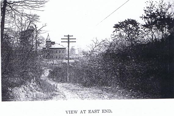
In January 1903 C.A. Smith and associates, controllers of the Chester and Rock Springs line, proposed to build a second line from the Diamond to the east end. The new line would run over Thompson's Hill
(View of Thompson's Hill)
and along Pennsylvania Avenue
rather than along the River Road like the existing rails of the United Power Company. (The City of Hills and Kilns)
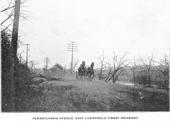
The new improved and modern Hill Road.
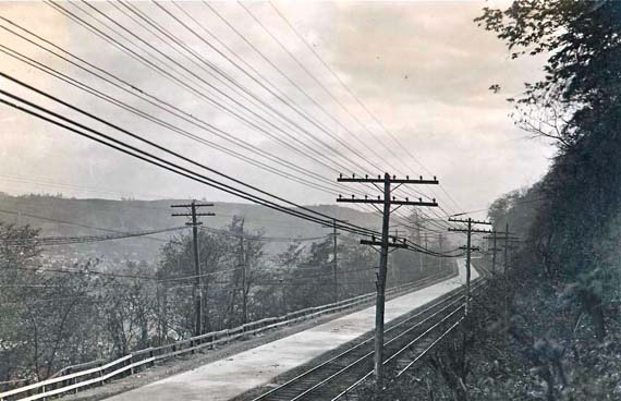
Contributed by Bobby Moore. From when there still was a Penna. Ave ( Hill Rd ) and it was brand new. ( Lincoln Hwy Archive U of M )
The time period for the above picture is probably between 1905 and maybe 1915.
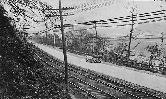
The Lincoln Highway, from 1913 to 1928 was on the north side of the Ohio River from Pittsburgh. It passed through towns such as Sewickley, Ambridge, Rochester, Beaver, and then followed what is now Tuscarawas Road, to Smith's Ferry Road, to what is now Rt. 68. It crossed Beaver Creek over the old iron bridge which ran from the bottom of Tuscarawas road to the other side of the creek where the small pavilion is at the Ohioville boat ramp. Then on into East End. There was also another northern route that split of at the Beaver River and followed present day PA route 51, Ohio rts 14 and 62 to Canton but I don't believe that it was used for very long. In 1928 it was moved to the south side of the Ohio, and was renamed Rt 30 shortly afterwards. Text Courtesy of Ernie Dostalik Jr. Picture courtesy of Bobby Moore
http://www.lincolnhighwayassoc.org/
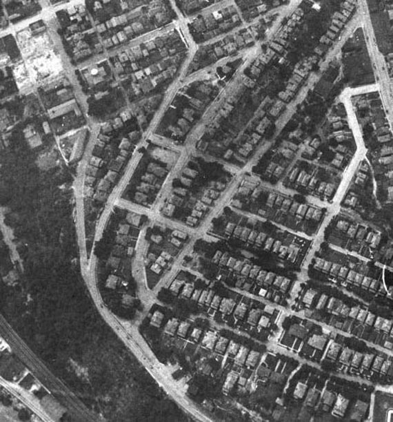
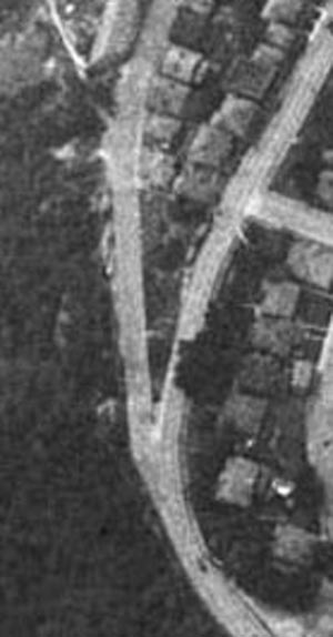
In the above picture you have an aerial view, probably taken in the late 1930's or early 1940's showing East 5th Street coming up the hill from downtown. East 5th Street became Pa. Ave. at the bend where the road veered to the right, with Sugar Street joining E 5th from the left. You can also see East 4th Street as it comes up and joins Pa Ave. at the top of that hill. At this point Pa Ave,/Hill Road levels off makes the turn steering the road easterly off towards East End. This area is in the general area of the top of Ravine Street. Notice that the Memorial Auditorium and the Bus Terminal had not been built yet. It appears that there is still a house or building on the corner of E 5th and Walnut where the Bus Terminal would eventually be built and a cleared lot on the corner of Walnut and E 4th Street where the M.A. would be built.
In the above picture the four major streets from left to right are as follows: East 4th Street, East 5th Street/Pa. Ave., Thompson Ave., Ravine Street.
As a result of the Chester Bridge being condemned by the State and it being torn down there was pressure to build a new bridge.
Since the first phase of the Route 11-39/7 was already completed and the plans for the second and third phase to be four lanes and to extend eventually to the Pa-Ohio State line the plans for the new bridge would require it to fit in those plans.
The old Hill Road would be closed so that construction could begin on the new four lane from downtown to the Mulberry area of East End.
The River Road along with St George Street and Mulberry Street would become the detour route.
The Hill Road was closed to all traffic for good in the mid 1970's.
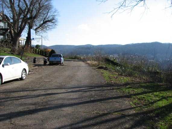
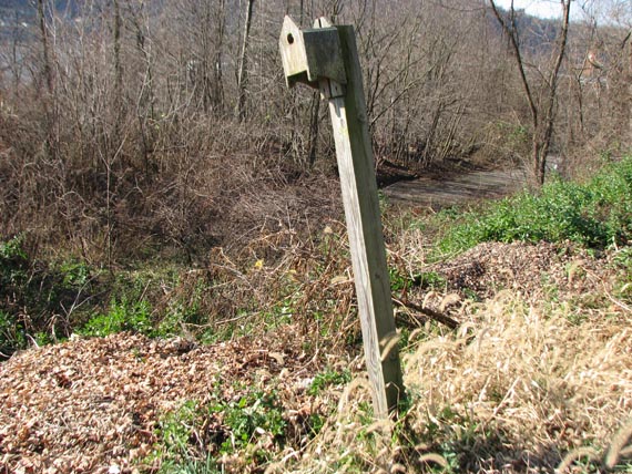
The Hill Road December 2011
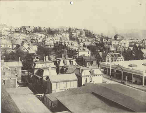
The West End
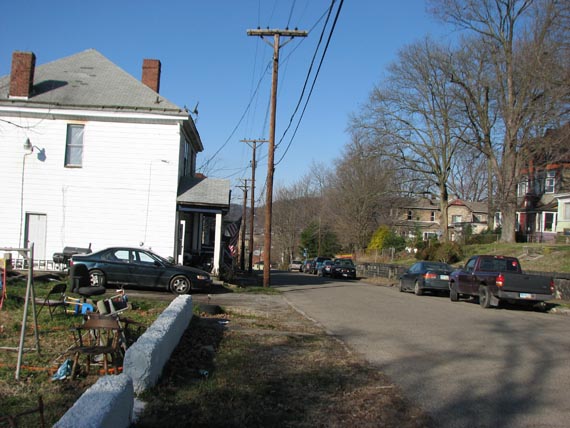
Looking back towards the downtown area.
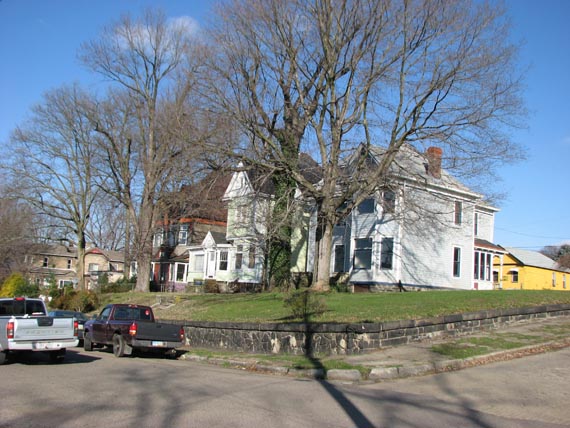
Northeast corner of Vine Street and Pa. Ave.
Northwest corner of Vine Street and Pa. Ave.

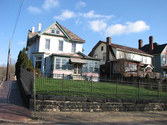
This and the next picture offer a view as the old Pa. Ave. approaches the bend that would run it along the face of the hill towards East End.
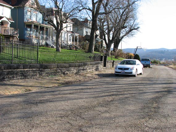
To the right center of the picture you can see what is left of the brick roadway of the former East 4th street as it came up the hill to merge with the Pa Ave, (Old Hill Road). This picture offers a more compact focused view how East 4th Street merged with Pa. Ave.
This site is the property of the East Liverpool Historical Society.
Regular linking, i.e. providing the URL of the East Liverpool Historical Society web site for viewers to click on and be taken to the East Liverpool Historical Society entry portal or to any specific article on the website is legally permitted.
Hyperlinking, or as it is also called framing, without permission is not permitted.
Legally speaking framing is still in a murky area of the law though there have been court cases in which framing has been seen as violation of copyright law. Many cases that were taken to court ended up settling out-of-court with the one doing the framing agreeing to cease framing and to just use a regular link to the other site.
The East Liverpool Historical Society pays fees to keep their site online. A person framing the Society site is effectively presenting the entire East Liverpool Historical Society web site as his own site and doing it at no cost to himself, i.e. stealing the site.
The East Liverpool Historical Society reserves the right to charge such an individual a fee for the use of the Society’s material.