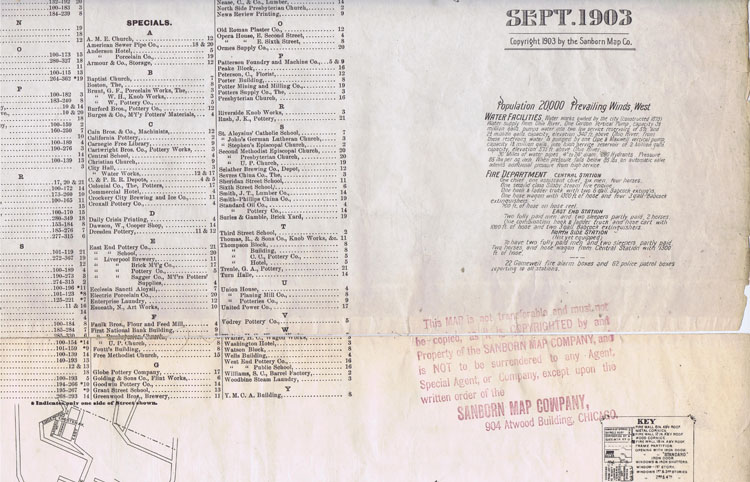
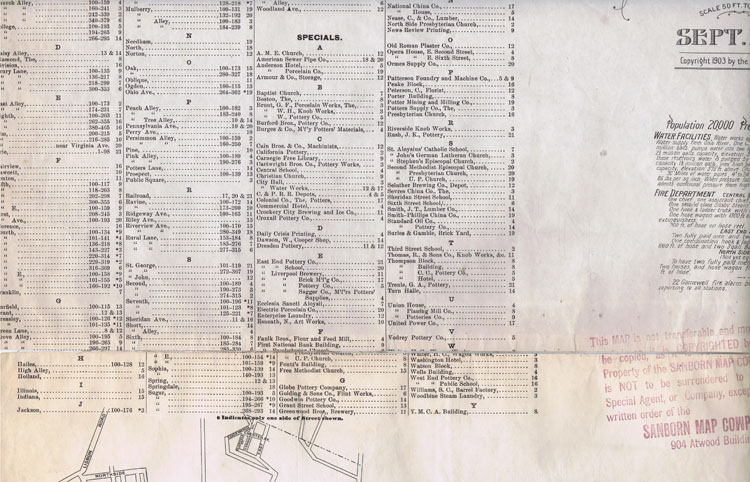
What follows is a very unique set of maps. They were created by the Sanborn Fire Insurance Company. These maps exist for most, maybe all, communities that existed in the various dates at the time. This particular map is a map of East Liverpool, Ohio as it existed in 1903..
We will include a small tutorial to help explain how to use these maps and how to understand them here.
https://en.wikipedia.org/wiki/Sanborn_Maps
TUTORIAL
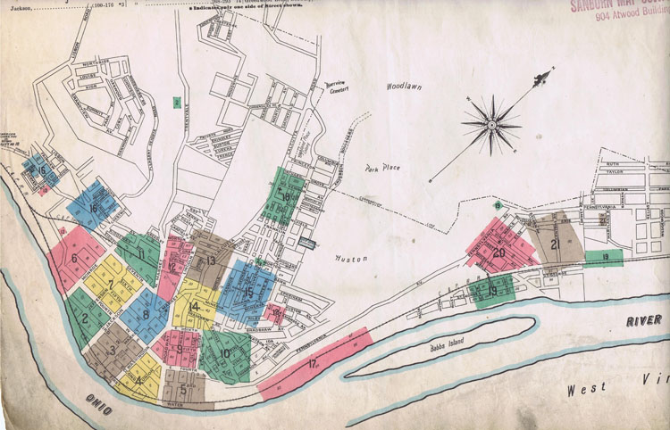
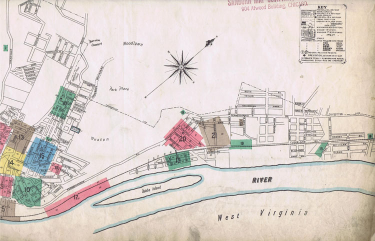
We want you to focus the blue box that has the 8 in it. That will be page 8 of this set of maps.
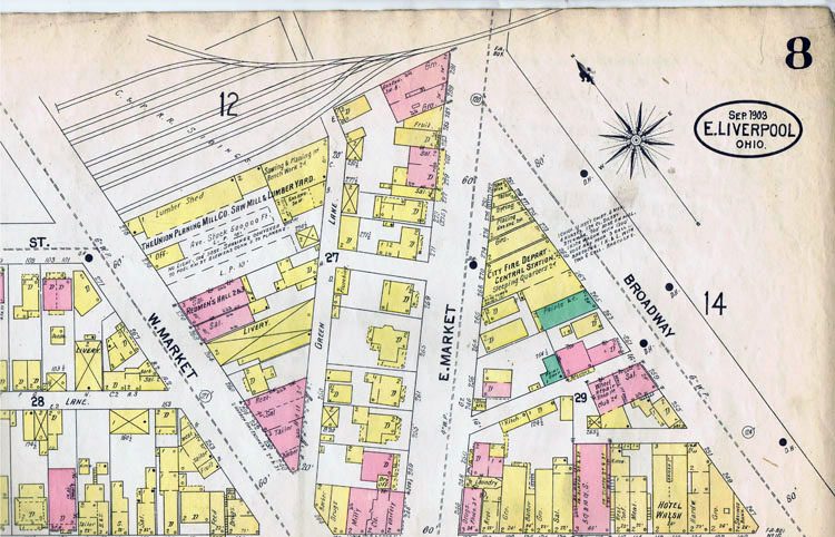
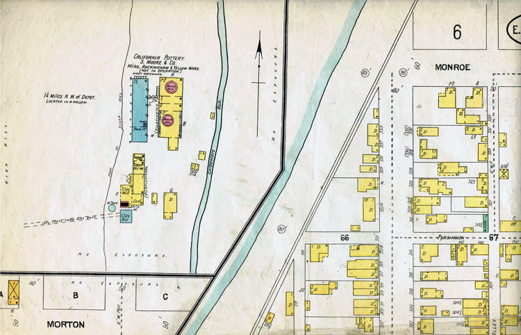
This particular map shows page 8, upper right portion of page 8. Because of the size of the scanner we have we had to make 6 overlapping scans for each of the 21 pages to include the entire 1903 Sanborn Fire Insurance Map. We "highlight" this particular scan (8.1 to show how to use these pictures to understand how to use the overall map. If you notice you see the 8 in the upper right hand corner. That indicates the map page. That will correspond to the blue box with the 8 in it in the downtown map. You will also see a 14 on the right hand side of the map and in the top left you will see a 12 as well. What thst means is, if you want to continue going in that direction you have to go to the page indicated there by the number to continue in that direction.
PAGE 1 INDEX PAGE

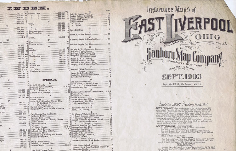
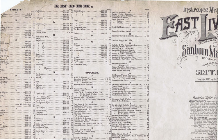

PAGE 2
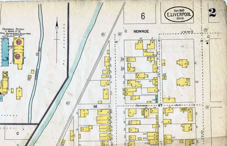
Upper right of page
Upper left of page
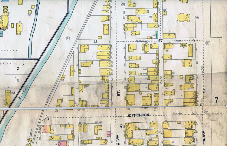
Middle right of page
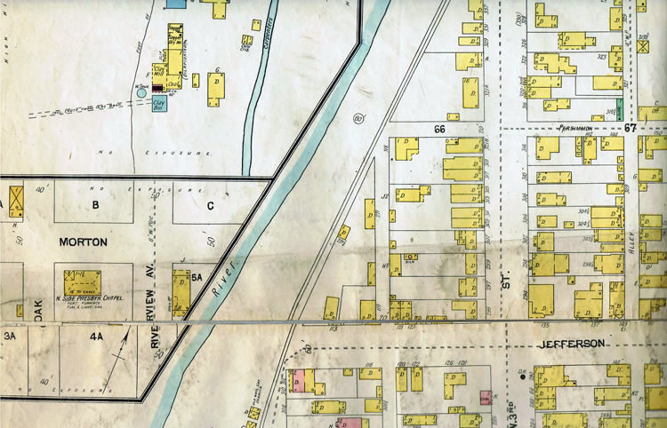
Middle left of page
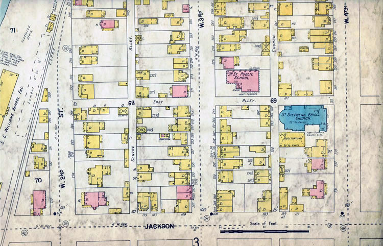
Lower right of page
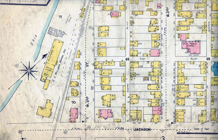
lower left of page
PAGE 3
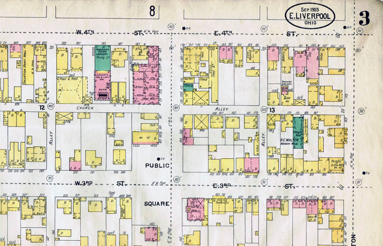
Upper right of page
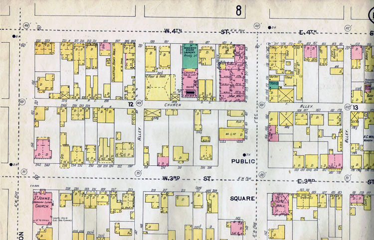
Upper left of page
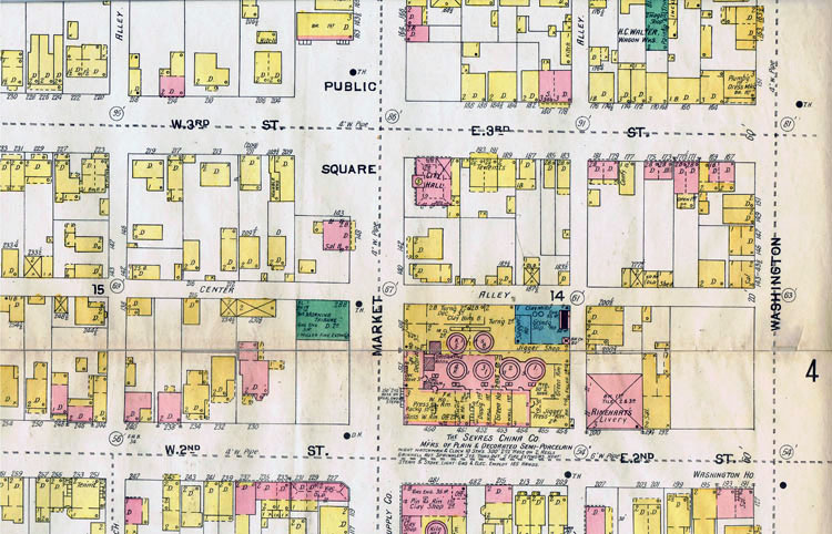
Middle right of page
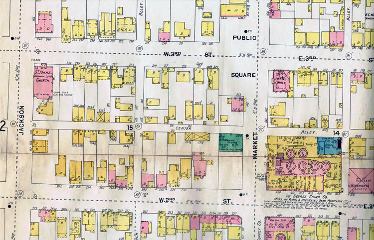
Middle left of page
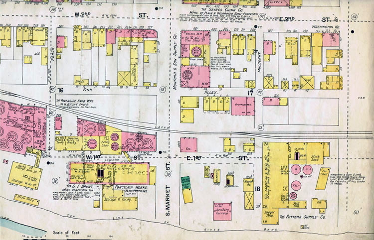
Lower right of page
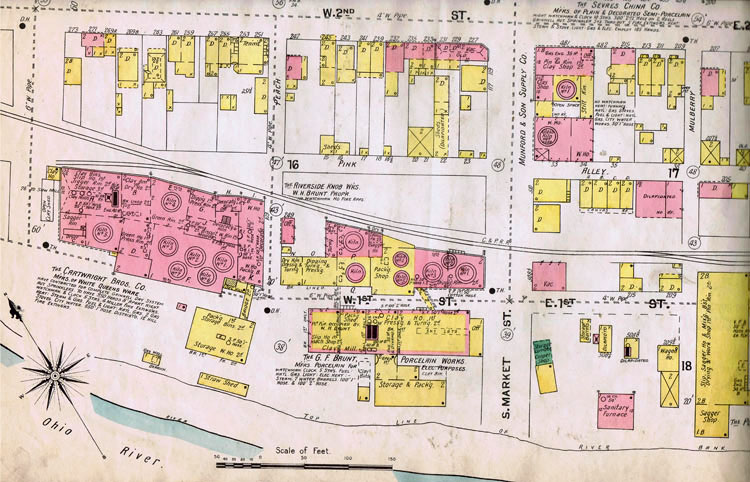
lower left of page
CONTINUE ON TO Sanborn 1903 ELO Fire Insurance Map Pages 4-6
This site is the property of the East Liverpool Historical Society.
Regular linking, i.e. providing the URL of the East Liverpool Historical Society web site for viewers to click on and be taken to the East Liverpool Historical Society entry portal or to any specific article on the website is legally permitted.
Hyperlinking, or as it is also called framing, without permission is not permitted.
Legally speaking framing is still in a murky area of the law though there have been court cases in which framing has been seen as violation of copyright law. Many cases that were taken to court ended up settling out-of-court with the one doing the framing agreeing to cease framing and to just use a regular link to the other site.
The East Liverpool Historical Society pays fees to keep their site online. A person framing the Society site is effectively presenting the entire East Liverpool Historical Society web site as his own site and doing it at no cost to himself, i.e. stealing the site.
The East Liverpool Historical Society reserves the right to charge such an individual a fee for the use of the Society’s material.