|
|

|
|
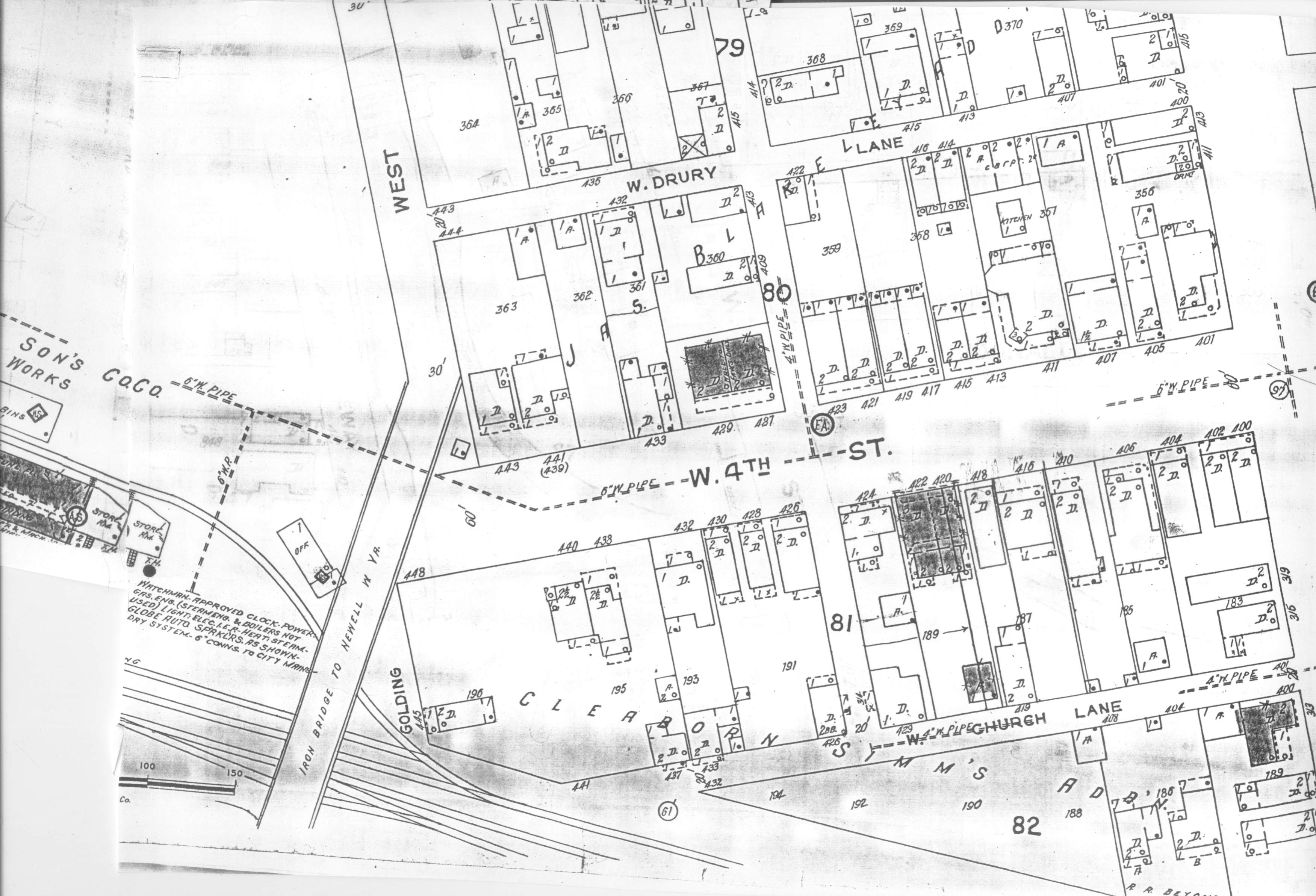
This covers the 400 block of West 4th Street.
This map might help make locations in the following pictures clearer.
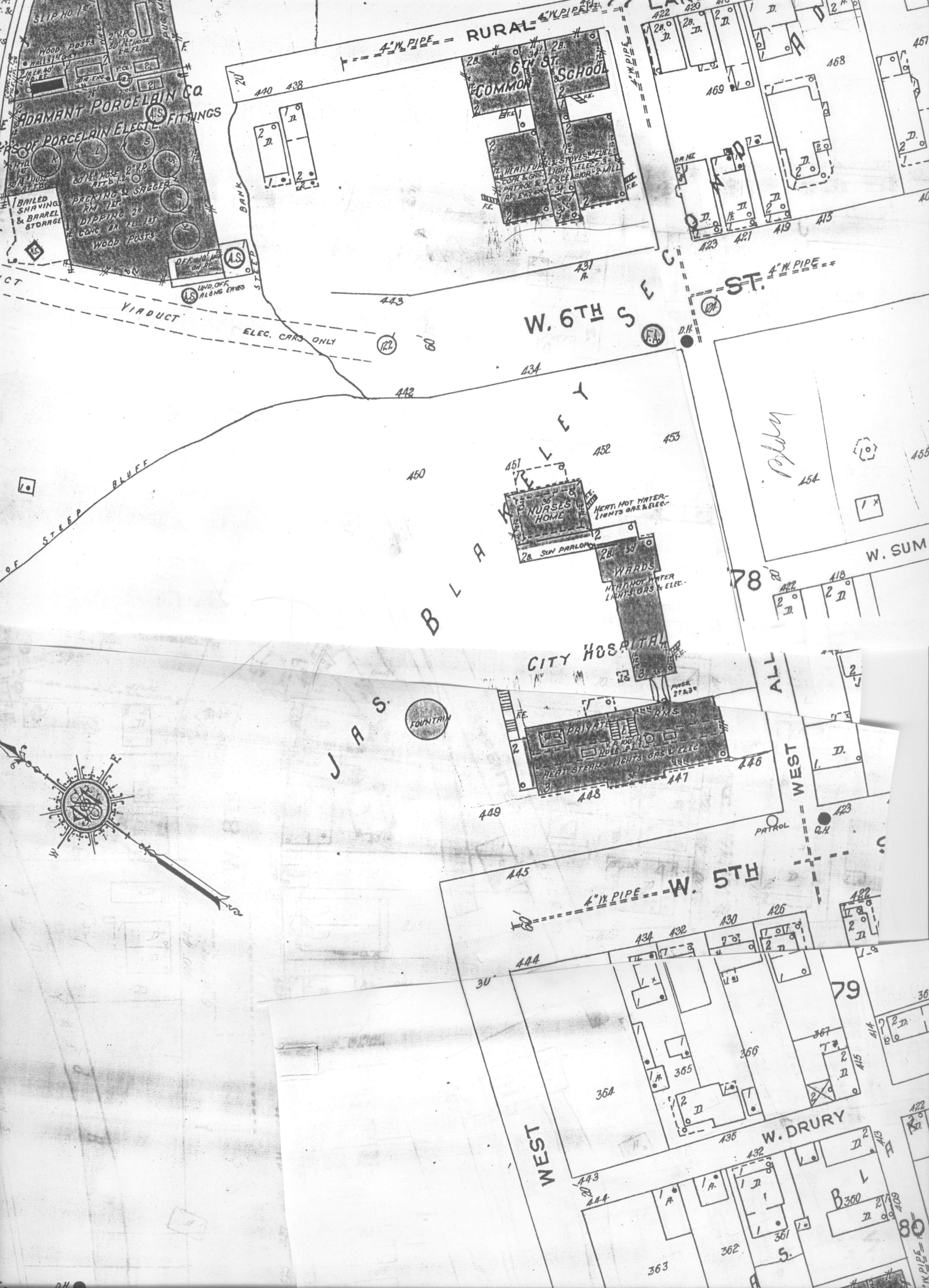
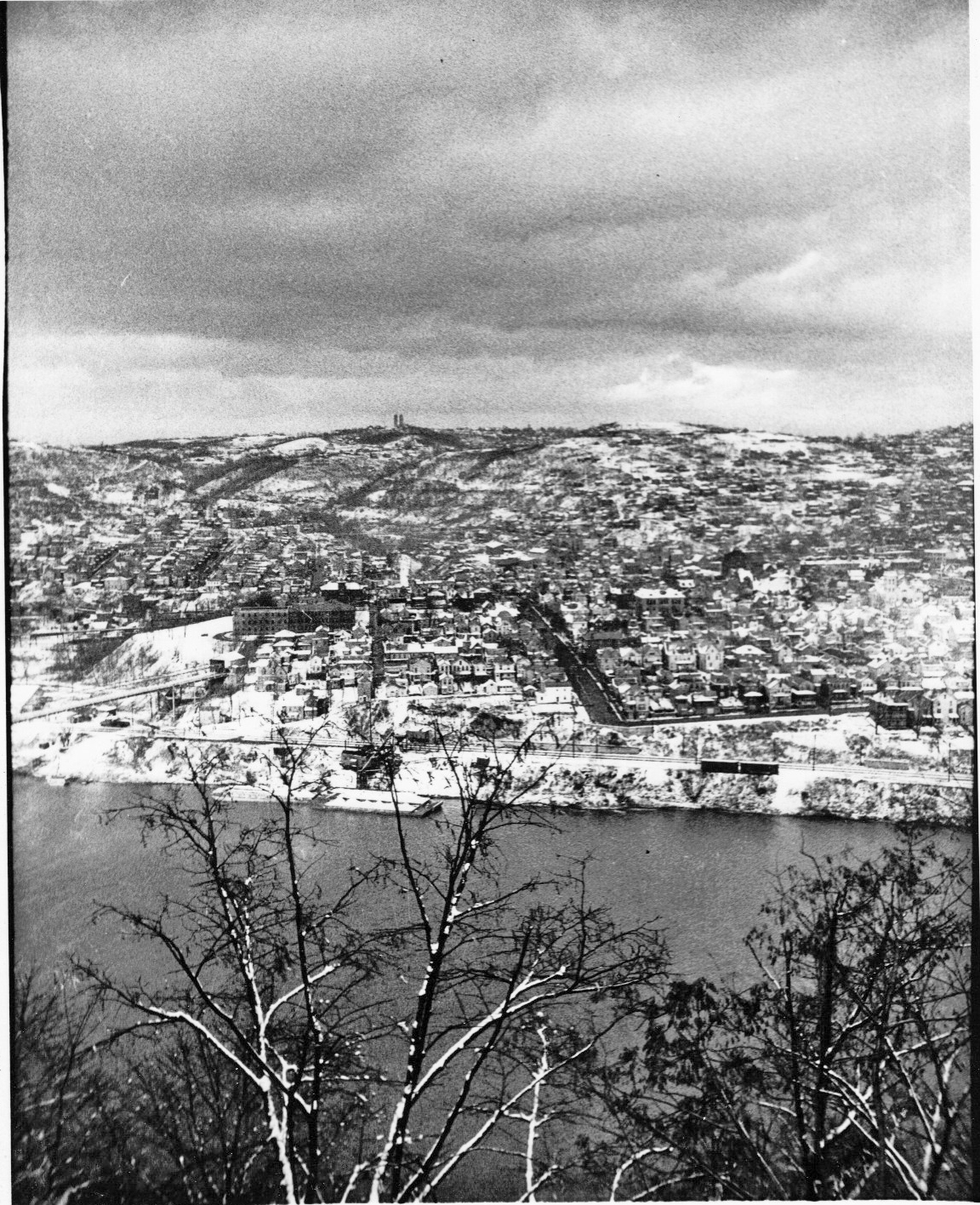
Much of what is depicted in the picture below no longer exists. The Sixth Street School no longer exists, nor does the "Tripartite bridge to West Eighth Street" AKA "Sixth Street Viaduct."
The viaduct was built in 1906 and was used until the early to mid 1930's when bus transportation began taking over the work of moving passengers. The viaduct was gone by 1940.
The City Hospital as shown on the map is before the addition of the 1950s which will take up a good portion of that city park empty space along side of the hospital as depicted in this photograph. That space was originally the location of the city cemetery known as "Skeleton Park."
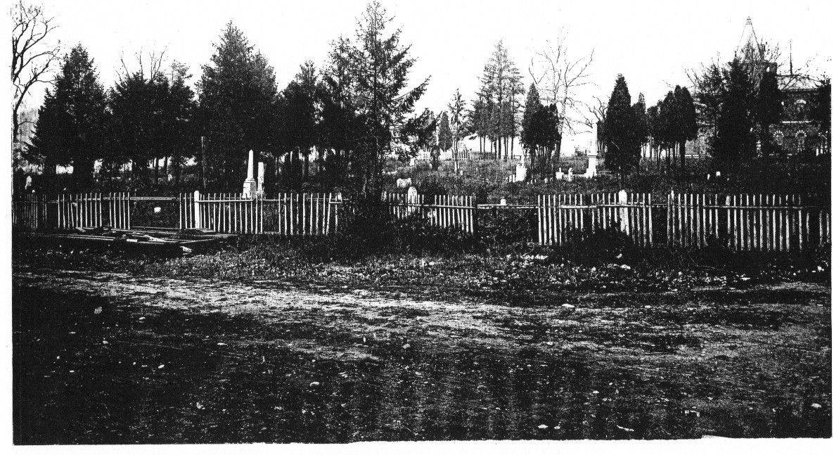
If you look to the upper right hand corner of the Skeleton Park photo you can see the top portion of 6th Street School. This particular picture of Skeleton Park was taken sometime in 1898 or before. The City Hospital probably hadn't been built there yet.
First let me add one more map:
Using this map and some photos we can reconstruct this portion of this particular area.
It is a bit difficult to trace W church lane and W 4th street east towards Monroe Street. In the case of W church lane houses are only on the north side of the alley and they are basically facing the river. In the case of West 4th houses are on both sides of the street which makes it difficult to pick out the separation caused by the street between the houses making up the north and south side of the street.
However, there is a bit of a solution for that.
Slightly to the right and a little behind the bridge toll house is the City Hospital and directly behind it is Sixth Street School.
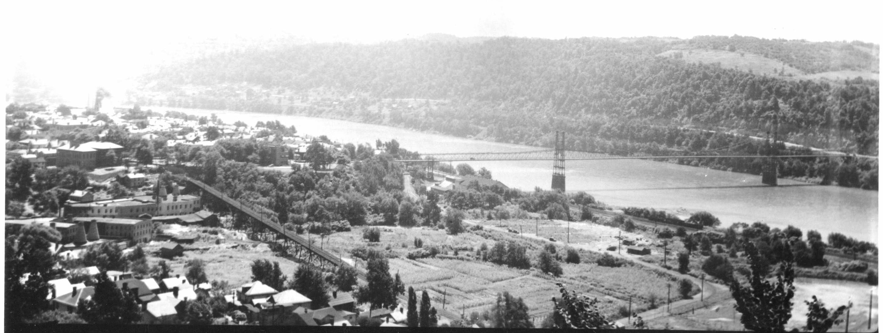
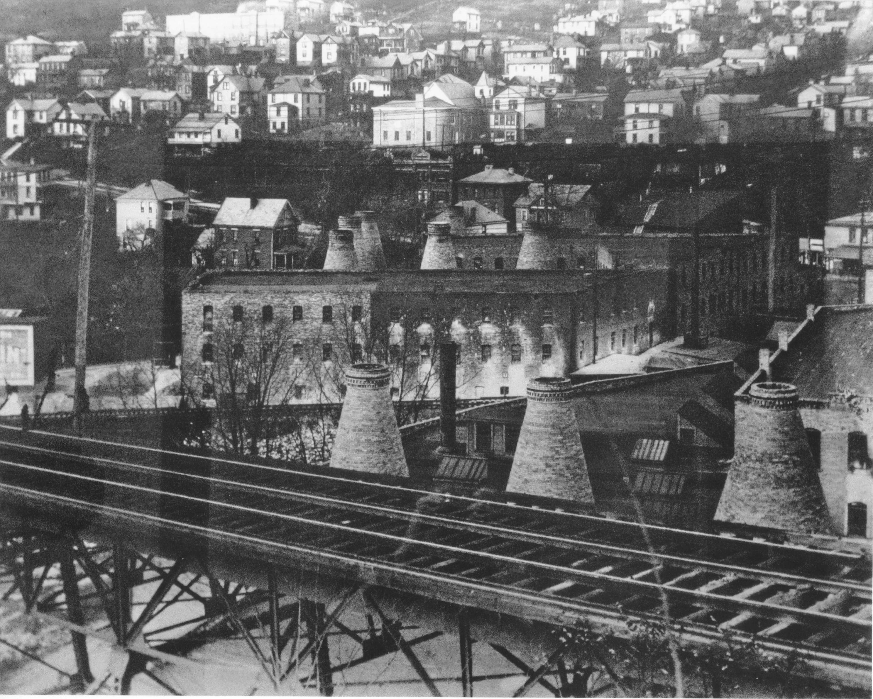
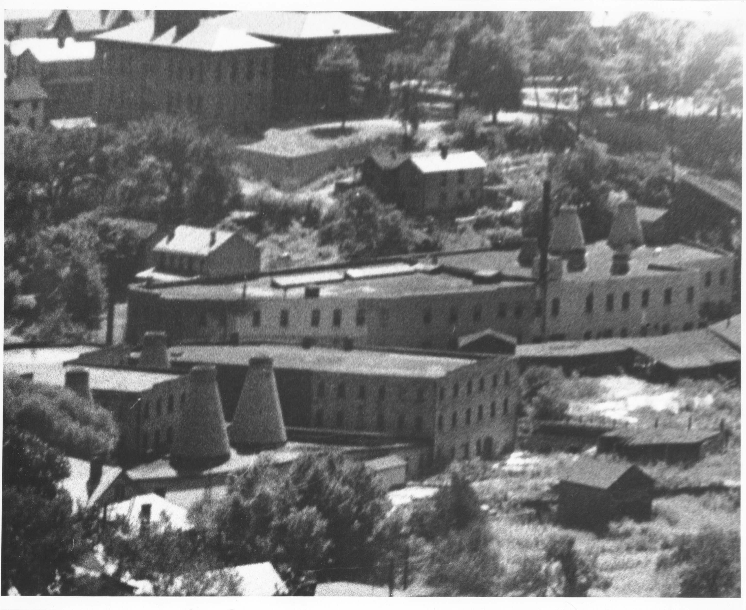
Exact date of this picture is unknown
Approximate date puts it at between 1906 and 1940.
The south side of West Fourth Street from the Newell Bridge to Monroe Street was pretty much taken for Route 11 in 1959-1960 and on the north side of W 4th from West Alley to Monroe Street is now a parking lot for the City Hospital.
The south side of W 4th street does still have a couple of the homes as shown in this picture at the corner of Monroe and W 4th. The houses at 400, 402, 404 West 4th and north side 401 W 4th do still exist.
Third Street ended at Monroe Street and that along with the very bottom portion of Monroe was taken for Route 11.
However, W 3rd Street, north and south sides of the street continued to live on as pretty much depicted in this photograph from 1960 into the 1980's before it too was taken for the downtown section of Route 11
Looking from left to right on the picture, the first narrow looking street running from south to north is West Alley. Letting your eye travel more to the right the broad street running south to north is Monroe Street.
On the left hand side of the photo beginning at the river and moving north you have the river, behind that is the Pennsylvania Railroad tracks, next moving north comes W church lane. Moving further north you come to West 4th street which runs under the bridge along the concrete base of the bridge toll house and the first steel supports for the bridge.
RECREATING THE 400 BLOCK OF WEST 4TH STREET
The following series of pics should make the reconstruction via photographs and maps much clearer.
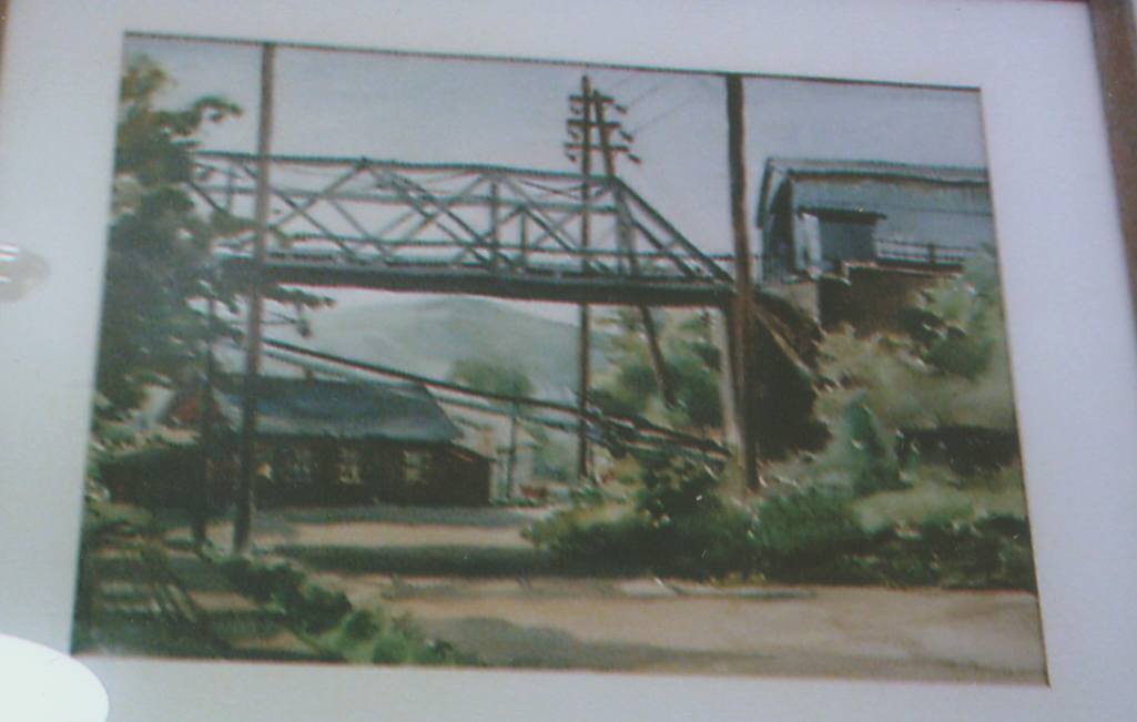
This painting by Hans Hacker shows the end of W 4th Street, where off to the side W 4th Street extension, a dirt road begins. This painting was done from the street level.
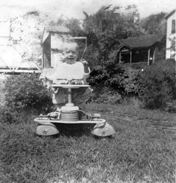
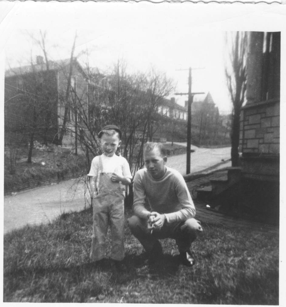
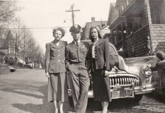
This is pretty much the same view as the previous picture only taken from the yard of the first, or last depending on your direction of travel, house on the south side of West 4th Street. We apologize, some of these pictures have people in them. The people in some of these pictures are not important to the topic of the article, so if you can look past the people. It is the rest of the picture that tells the story of this article.
Fast Forward to 2011
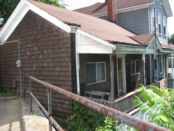
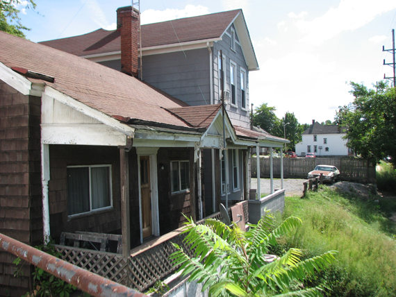
These two houses still exist today as they had prior to Route 11 and 1961.
This side of the street had these two houses then a back yard of a house the fronts on Drury Lane. Next came the Pickering house and after that a double house. That took you to West Alley. That house with the white side up there at the end is the Bendheim House, 401 W 4th St. There is a picture of it further down.
Behind the man and baby you can see on the far left the edge of the Pickering House and then the double house that takes us to West Alley.
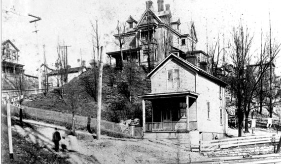
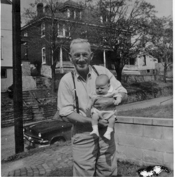
Where the man and boy is walking is West Street. You can see the shadow cast by the Newell Bridge on the ground. The smaller house on the right of the picture was the house for the servants when the big house on the rise was owned by Oliver Burford, one of the three brothers who owned and operated the Burford Brother Pottery. On the far side of the street you can see that second house in the flash forward picture. Then the back yard of the house fronting on Drury lane and next the Pickering house. The date of this picture is suppose to be 1946.
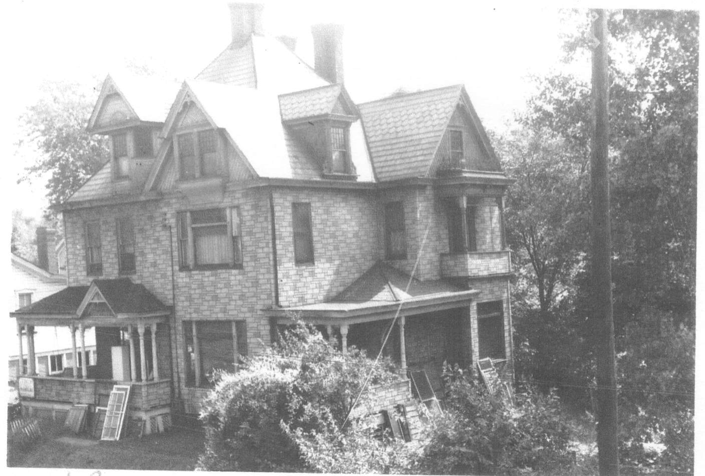
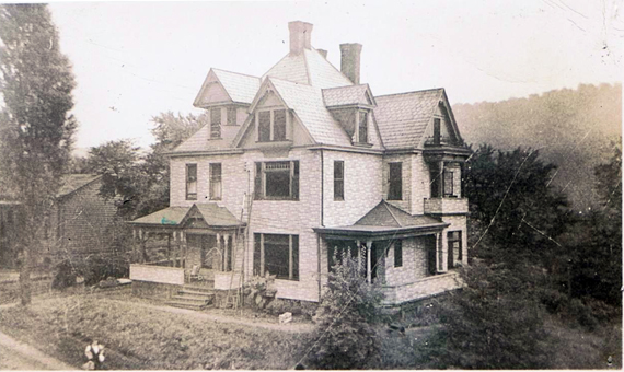
Notice top center of the picture the house with the steeple type roof.
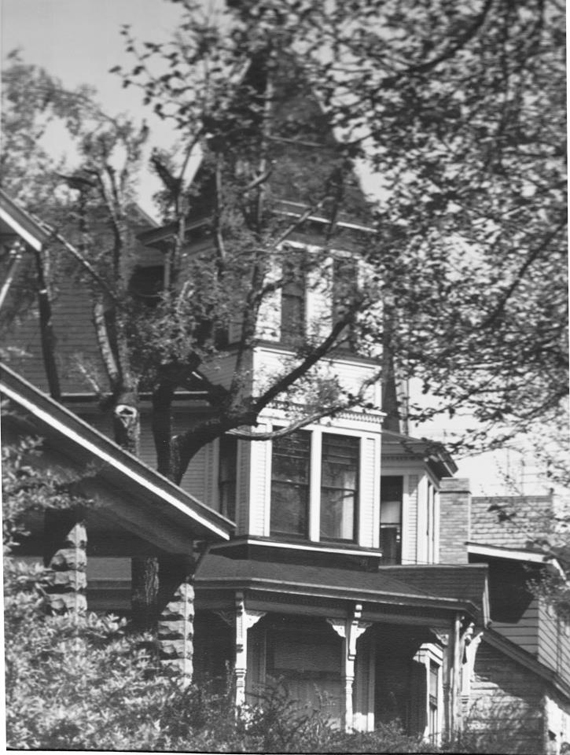
This is that house.
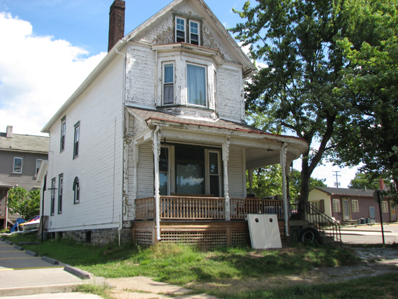
The Bendheim house, 401 West 4th Street. Originally a family by the name of Feldman lived there.
This finishes the north side of the 400 block of W 4th Street.
If you were to go back up and look at the 123 Sanborn Fire Insurance map you would find the following Street numbers for the houses beginning at the Newell Bridge and moving right (east) to Monroe St. 443, 441, the backyard, 433 Pickering house, 429-427, West Alley, 423-421, 419-417, 415-413, 411 Steeple house, 407, 405, 401 Bendheim house.
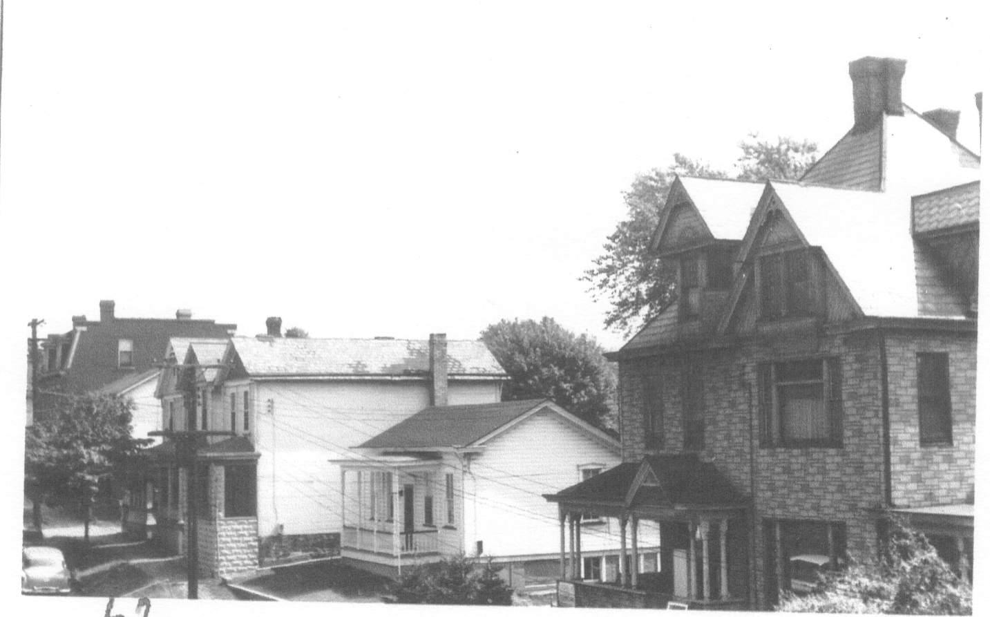
One final look up the street with the north side showing decently.
South side of the street.
we will begin with a grouping of pictures that will launch us.
All three of the last three pictures were taken from the Newell Bridge along side the toll booth shelter. The reason I said this will become clear when we start part 2.
Notice that white cottage. It will show up a few more times before we are done.
CONTINUE TO PART 2 West Fourth Street 2
© 2007-2012 East Liverpool Historical Society, all rights reserved.
This site is the property of the East Liverpool Historical Society.
Regular linking, i.e. providing the URL of the East Liverpool Historical Society web site for viewers to click on and be taken to the East Liverpool Historical Society entry portal or to any specific article on the website is legally permitted.
Hyperlinking, or as it is also called framing, without permission is not permitted.
Legally speaking framing is still in a murky area of the law though there have been court cases in which framing has been seen as violation of copyright law. Many cases that were taken to court ended up settling out-of-court with the one doing the framing agreeing to cease framing and to just use a regular link to the other site.
The East Liverpool Historical Society pays fees to keep their site online. A person framing the Society site is effectively presenting the entire East Liverpool Historical Society web site as his own site and doing it at no cost to himself, i.e. stealing the site.
The East Liverpool Historical Society reserves the right to charge such an individual a fee for the use of the Society’s material.