Fourth Street East Liverpool, Ohio - Then and now, from its early beginnings to the present day
FOURTH STREET EXTENSION

From a 1903 Sanborn Fire Insurance map.

1903 Sanborn Fire Insurance map showing 4th St Extension.

A Bell Telephone East Liverpool, Ohio Telephone book for the 1950's showing 4th Street Extention.


Not the best view of 4th Street Extension but it does give some perspective in distance in that area. You can see the smoke stack for the former Glass House in the left.

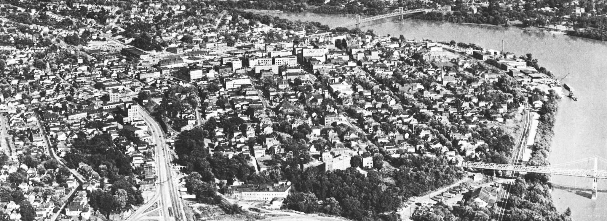
A good aerial view of 4th Street Extension.

A great picture, probably taken in the Late 50's showing Buckley Carthage Company bottom left, Berman's Junk Yard, Sewage Disposal Plant, Westgate and Patterson Field.

Probably 1957.
This picture probably sometime in 1960. Far upper right Patterson Field. Moving dowward upper center Sewwage Disposal Plant. Center across the picture that vally is actually Carpenter's Run. Left near bottom what is left of Berman's Junk Yard.

Berman's office. Route 11 construction has began so probably 1960.
The Route 11 construcion or preparations is probably a better word, 1960.
The Route 11 construcion or preparations is probably a better word, 1960.

Looking in the direction of the Newell Bridge that is the junk Yard there in the foreground.

Fourth Street extension, at least the Northern portion of it was wiped out by the construction of Route 11 onto West 3rd Street. You see in this picture where the 4th Street extension comes to a end by the bulldozing and shaping of what was to become Route 11? You will see this same spt in another pics a bit later on.
WHAT IT LOOKS LIKE TODAY. (MAY 16, 2017). Where it originally connected with 8th street. Now property of the EL School District. Westgate on the left Patterson Field on the right,
Standing at the south end of was the JR High Wing of Westgate back when it opened in 1956. Fourth Street Extension straightened at the east end of that curve and came directly towards me (the photographer) Years later when the BOE bought that property they altered what was once the 4th Street Extension in that particular area better suit their purposes. Fourth Street extension had ceased to be connected to 4th Street since 1960.
Walking back though the weeds towards what is left of the road along the Sewage Disposal Plant.
Looking east,
Looking back west.
Remember back a few pictures I said you would see this same spot again? Well this is that same spot. What is left of 4th Street extension ends about 40 or 50 yards beyond this fence.

The end of West 4th Street, the bricked portion and the beginning of 4th Street extension. Fourth Street Extension is the right of that single story building in the center of the picture just past the bridge.

Fourth Street may have well been the longest street in the downtown area. This shows its length in 1957 from part of 4th Street extension to Broadway. Fourth street went from where it connected to 8th Street to where it connected to Pa Ave (Hill Road). The latter isn't shown on this photograph

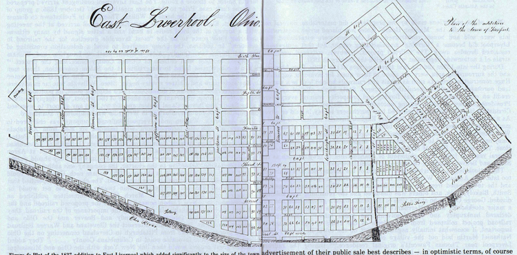
East Liverpool 1830.
CONTINUE ON TO Fourth Street ELO Then and Now2
This site is the property of the East Liverpool Historical Society.
Regular linking, i.e. providing the URL of the East Liverpool Historical Society web site for viewers to click on and be taken to the East Liverpool Historical Society entry portal or to any specific article on the website is legally permitted.
Hyperlinking, or as it is also called framing, without permission is not permitted.
Legally speaking framing is still in a murky area of the law though there have been court cases in which framing has been seen as violation of copyright law. Many cases that were taken to court ended up settling out-of-court with the one doing the framing agreeing to cease framing and to just use a regular link to the other site.
The East Liverpool Historical Society pays fees to keep their site online. A person framing the Society site is effectively presenting the entire East Liverpool Historical Society web site as his own site and doing it at no cost to himself, i.e. stealing the site.
The East Liverpool Historical Society reserves the right to charge such an individual a fee for the use of the Society’s material.